- 200 Must-Have Experiences In Costa Rica And Photos (In Honor Of Costa Rica’s Bicentennial) – September 15, 2021
- How Much Does It Cost To Go To Costa Rica? Costs Of Activities, Hotels, Food, Transportation Services, And More! – August 24, 2021
- Driving to La Fortuna/Arenal: Photos, Road Conditions, Routes, Drive Times, And More! – August 17, 2021
Some of the information below is an excerpt from our La Fortuna city guide:
Must-Know Info About La Fortuna Costa Rica From Longtime Residents
*****
Get the Costa Rica info you need by browsing our article’s TABLE OF CONTENTS:
Everything you need to know about driving to La Fortuna / Arenal
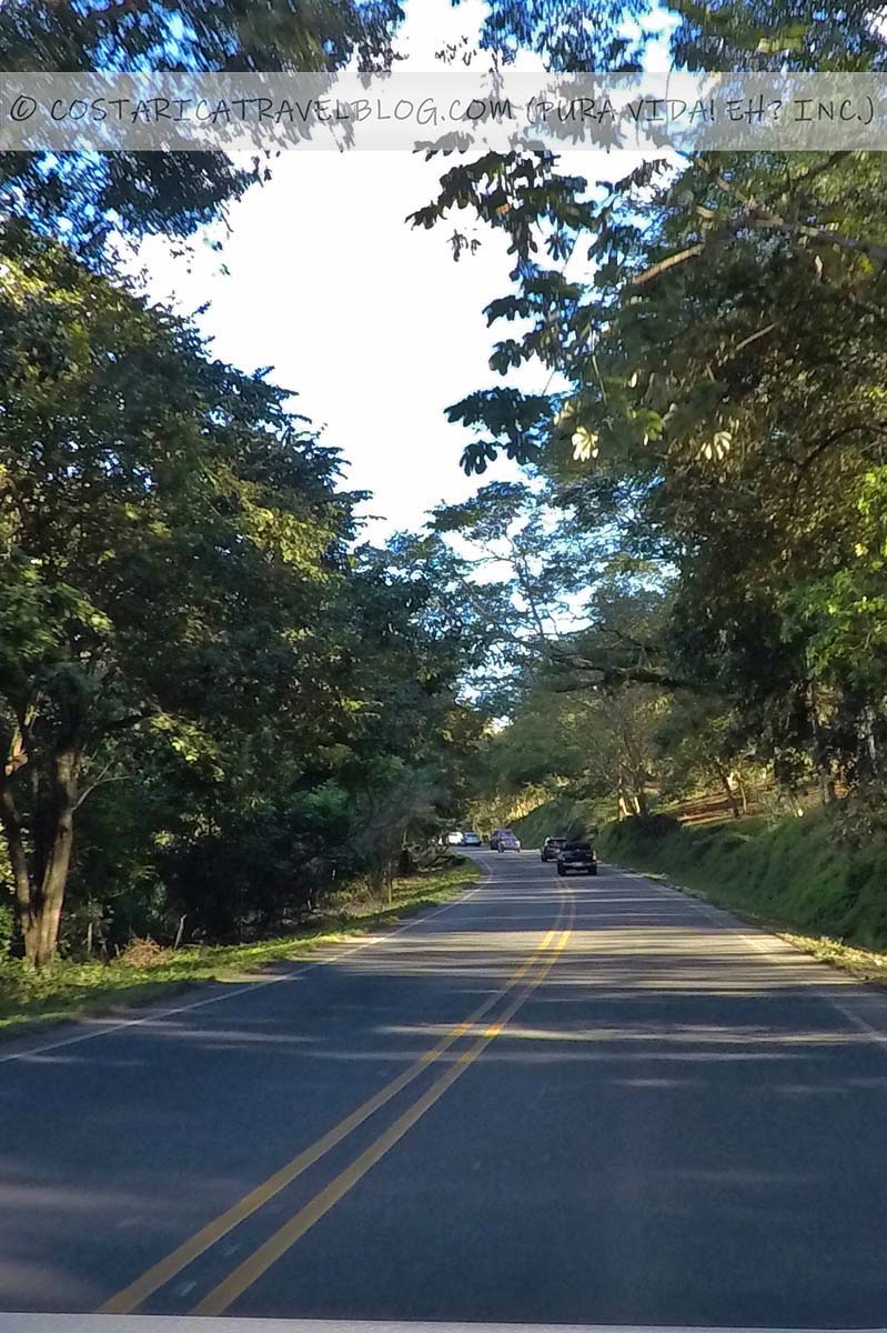
To say we’re familiar with the roads to La Fortuna is an understatement. We’ve lived in La Fortuna for several years over the past 14 years, and we’ve traveled the roads that lead to the destination more times than we could ever count. If you plan on driving to La Fortuna and you’d like to be prepared for the trip, you’ve come to the right place. Below, you’ll find a description of driving routes to La Fortuna, as well as descriptions of the roads and highways you’ll encounter along the way.
The four most popular driving routes to La Fortuna / Arenal
Visitors typically arrive at La Fortuna via one of four main routes:
- The route from the south (Highway 1 and Road 702) via San Ramon and Chachagua
You’ll likely take this route if you’re traveling to La Fortuna from San Jose, Alajuela, the SJO Airport, or destinations along the central or southern Pacific coast. - The route from the south (Highway 1 and Road 141 to Road 142) via Naranjo, Zarcero, and Ciudad Quesada
This is a less popular, alternative route to Road 702 if you’re traveling to La Fortuna from San Jose, Alajuela, the SJO Airport, or destinations along the central or southern Pacific coast. - The route from the east (Highway 4 to Road 142) via Puerto Viejo de Sarapiqui
You’ll likely take this route if you’re traveling to La Fortuna from the Sarapiqui region or destinations along the Caribbean coast. - The route from the west (Highway 1 to Road 142) via Liberia, Canas, Tilaran, and Nuevo Arenal
You’ll likely take this route if you’re traveling to La Fortuna from Liberia, the LIR Airport, or destinations along the northern Pacific Coast or on the Nicoya Peninsula.
Continue reading below for more specific information about each road and highway, including alternative road/highway names; destinations encountered along the road/highway; road/highway conditions, design, and terrain; traffic pace and flow; whether the road/highway has tolls or requires river crossings; whether you need a 4×4 vehicle to travel the road/highway; and special driving-related notes and advisories.
The roads to La Fortuna / Arenal
Road 142
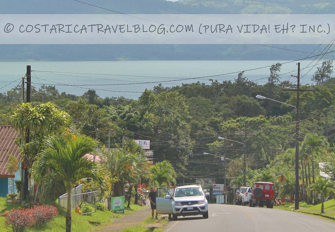
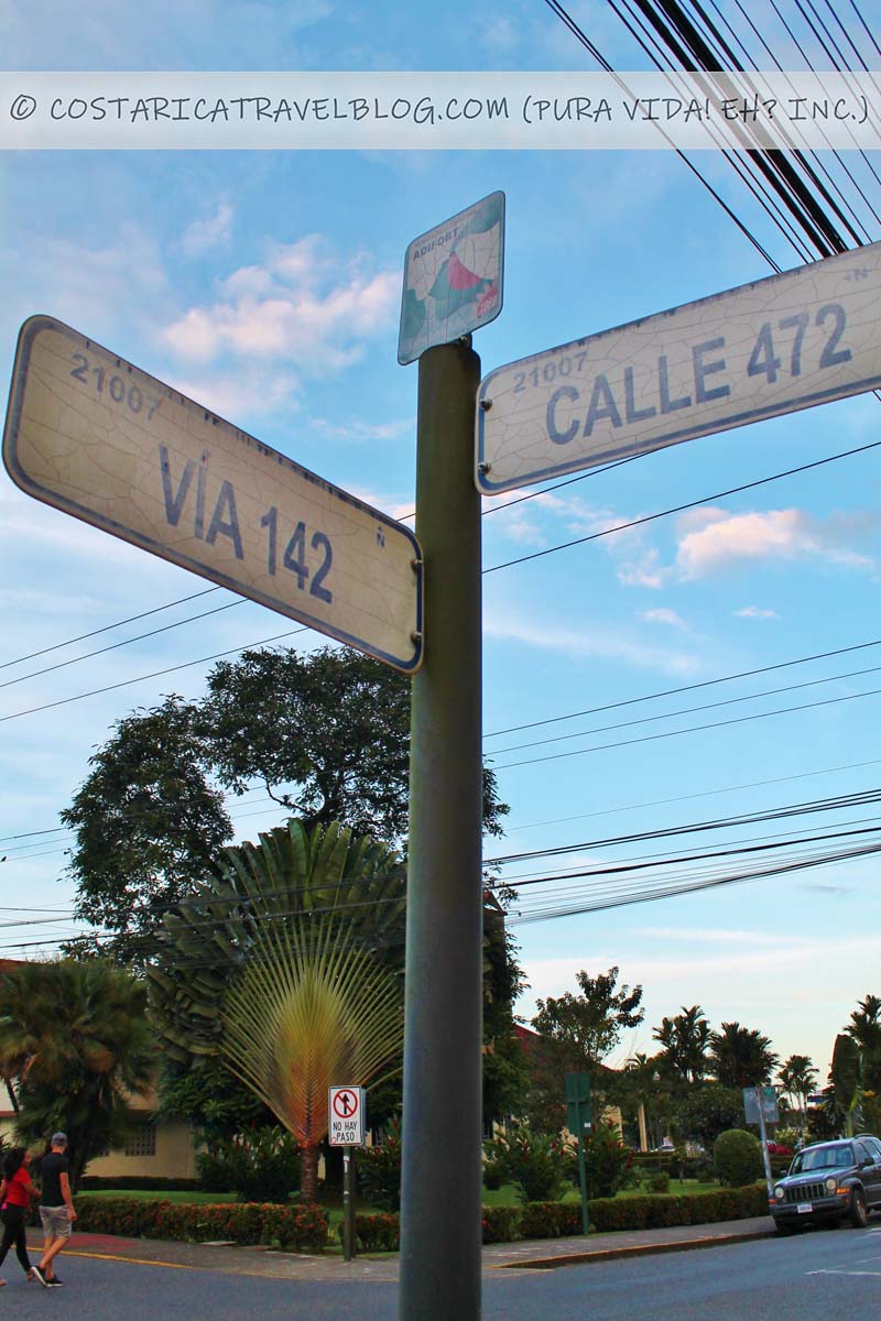
Road 142 is best known for being downtown La Fortuna’s main drag. This road runs east-west through La Fortuna where it is a one-way road as far west as Road 702. Traffic flows west on Road 142 in the downtown core. Road 142 continues west out of La Fortuna, curves around the Arenal Volcano, and skirts around Lake Arenal (passing through the community of Nuevo Arenal and the town of Tilaran along the way) before ending in the town of Canas. (Note that a turn is required in Tilaran to stay on Road 142.) East of La Fortuna, Road 142 connects with Highway 4, which leads a direct path east toward the Sarapiqui region.
- Alternative road names: La Fortuna’s main street; the road around the Arenal Volcano; Nuevo Arenal’s main street; the road to Tilaran; Avenida 1/Avenida Central in Canas
- Popular destinations encountered along the route: La Fortuna
- Off-the-beaten-path destinations encountered along the route: Nuevo Arenal, Tilaran, and Canas
- Destinations reached by cutoffs along the route: El Castillo, both sectors of the Arenal Volcano National Park, and the Arenal Sky Adventures Park
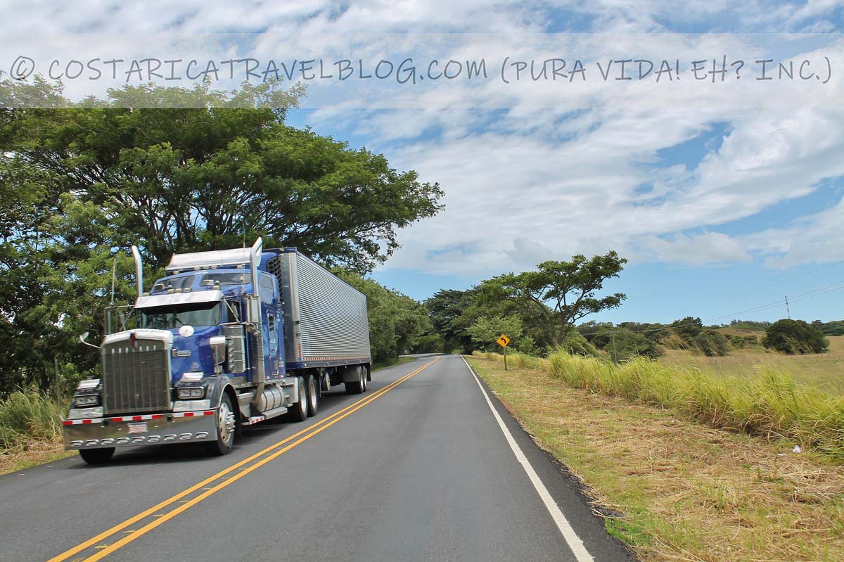
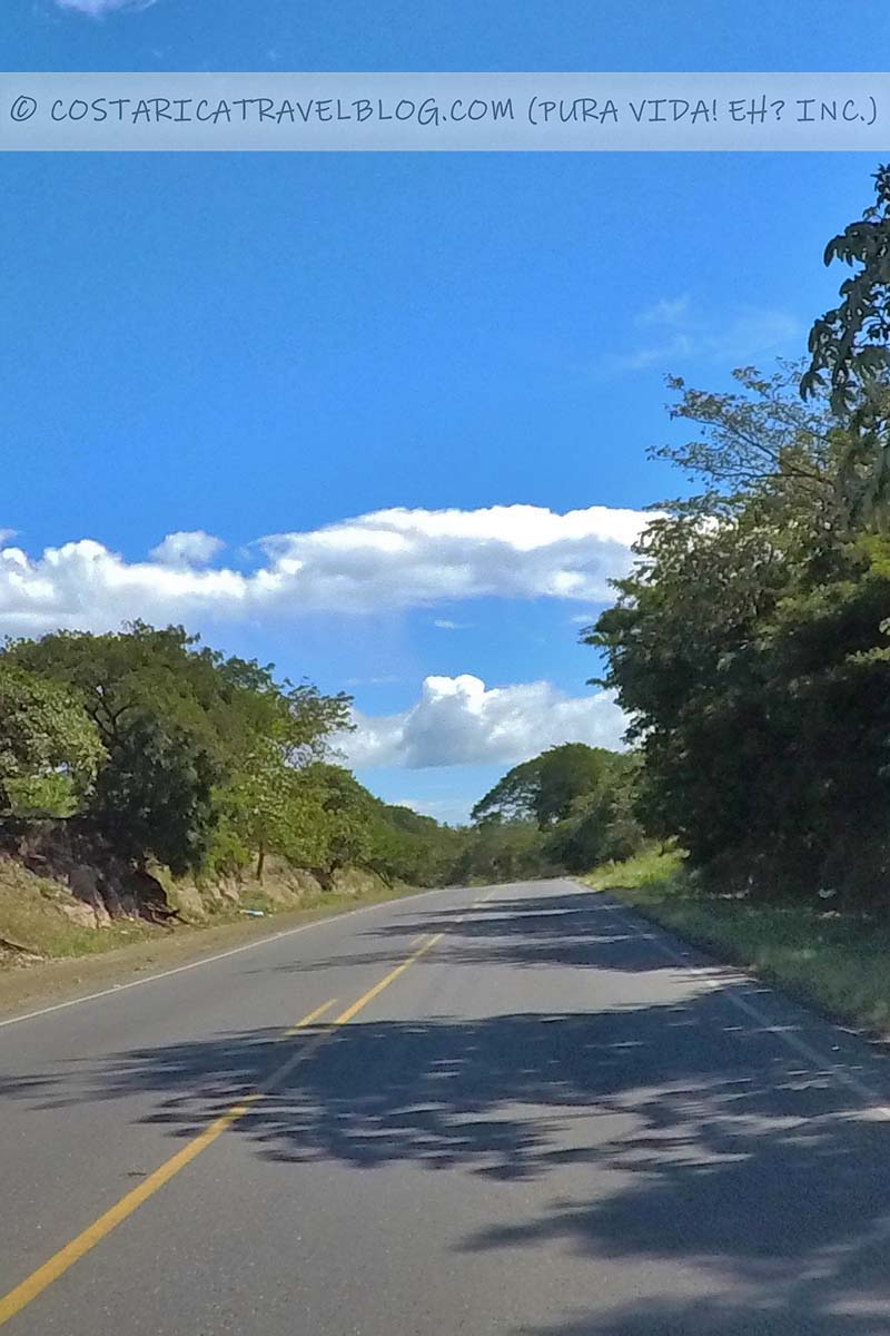
- Road conditions and design: paved, single-lane road
- Terrain: primarily flat; curvy in places, especially west of downtown La Fortuna around Arenal Lake
- Pace: moderate; slower around sharp curves
- Traffic: moderate; heavier in downtown La Fortuna
- Flow: two-way road
- Tolls: none
- River crossings: none
- 4×4 vehicle required: no
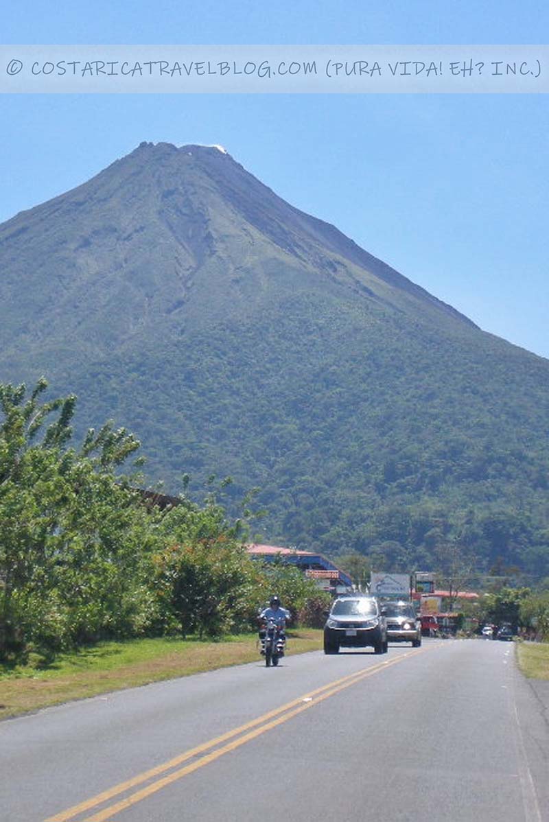
- Special notes and advisories: Take curves slowly, especially when driving after dark around Arenal Lake; watch for CEDA (yield) signs; enjoy the view of the Arenal Volcano from Road 142 in downtown La Fortuna or while driving west out of downtown La Fortuna on Road 142 toward Arenal Lake; be mindful of the one-way section of Road 142 in downtown La Fortuna
Road 702
Road 702 is the second-most traveled road in downtown La Fortuna after Road 142. It runs perpendicular to Road 142, running north-south in downtown La Fortuna and continuing as far south as the city of San Ramon, passing through a curvy, mountainous stretch of cloud forest along the way. Road 702 meets Road 142 one block west of La Fortuna’s central park and church.
- Alternative road names: Calle 472 (in downtown La Fortuna); the road to Chachagua; the road to San Ramon
- Popular destinations encountered along the route: La Fortuna, the Arenal Mundo Aventura Ecological Park, the El Salto swimming hole and tarzan swing
- Off-the-beaten-path destinations encountered along the route: Chachagua and San Ramon
- Destinations reached by cutoffs along the route: N/A
- Road conditions and design: paved, single-lane road
- Terrain: primarily flat until the community of Bajo Rodriguez; mountainous and curvy in places, especially between Bajo Rodriguez and San Ramon
- Pace: moderate; slower around sharp curves or if you’re stuck driving behind a truck (passing in curvy areas is difficult and dangerous)
- Traffic: moderate; heavier in downtown La Fortuna and downtown San Ramon
- Flow: two-way road
- Tolls: none
- River crossings: none
- 4×4 vehicle required: no
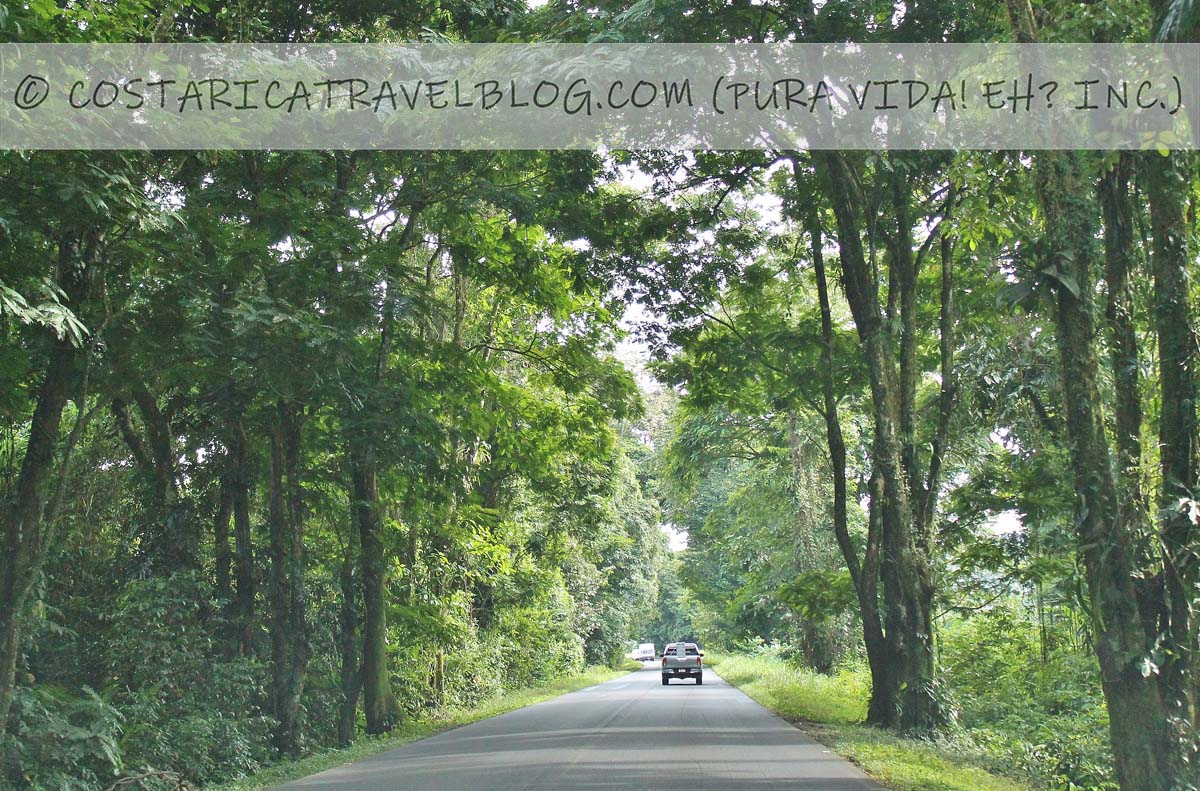
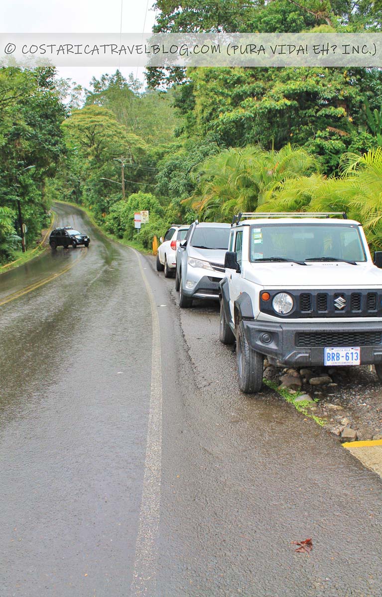
- Special notes and advisories: This route travels through cloud forest so it’s best to avoid driving after dark; take curves slowly and only pass vehicles (if necessary) on straightaways
Road 141
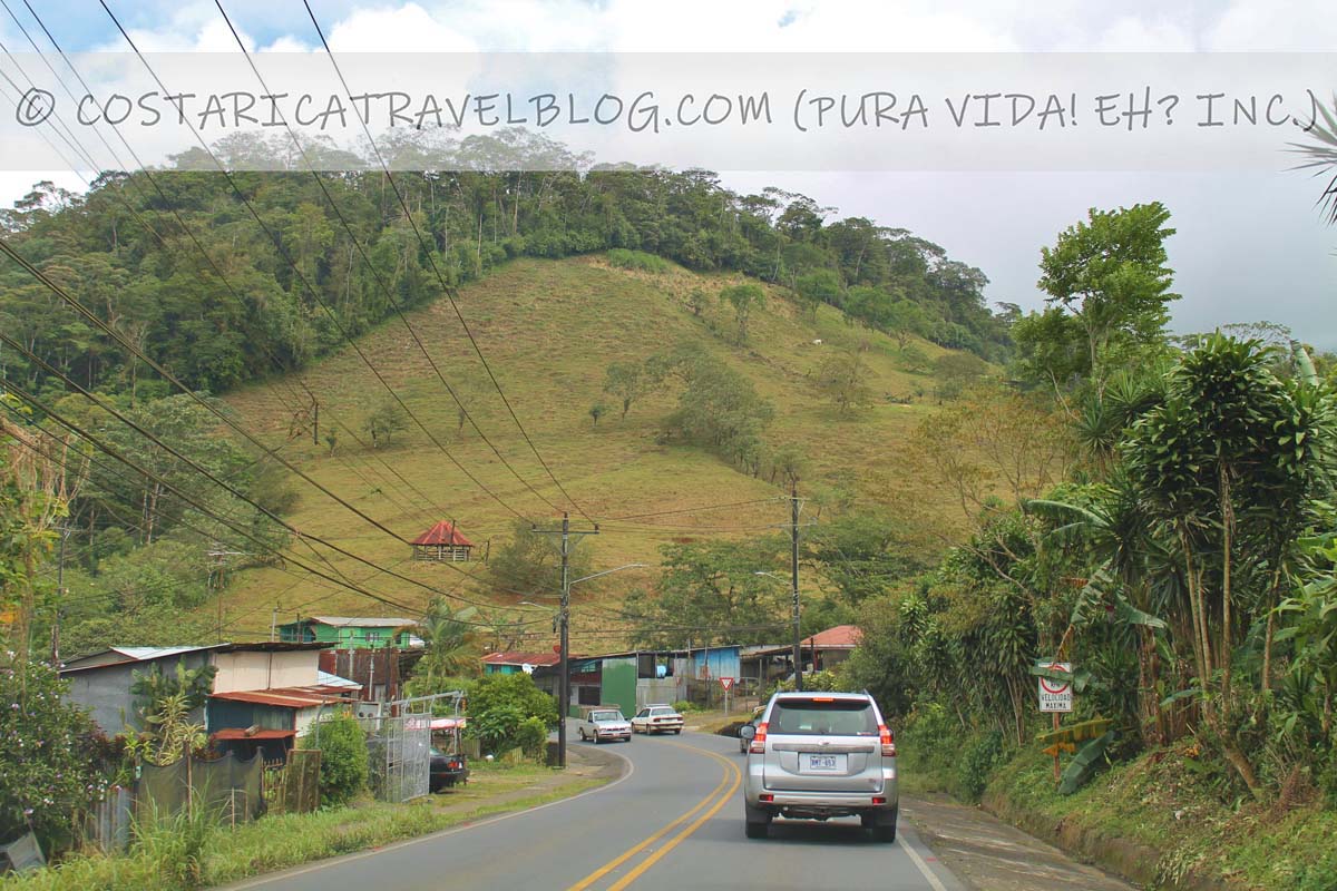
A less-traveled route to La Fortuna from the south is provided by Road 141, which begins in the town of Naranjo, climbs through a curvy, mountainous stretch of cloud forest and the town of Zarcero (also called Alfaro Ruiz), eventually descends into the city of Ciudad Quesada, and follows a fairly flat path on to La Fortuna. Road 141 meets Road 142 just east of downtown La Fortuna in the community of El Tanque.
- Alternative road names: Calle Central and Calle 2 (in downtown Ciudad Quesada); the road to Ciudad Quesada; Calle Central (in downtown Zarcero/Alfaro Ruiz); Avenidas 1/3/4/Central and Calles 3/4/6/8 (in downtown Naranjo)
- Popular destinations encountered along the route: N/A
- Off-the-beaten-path destinations encountered along the route: Naranjo, Zarcero/Alfaro Ruiz, and Ciudad Quesada
- Destinations reached by cutoffs along the route: Sarchi
- Road conditions and design: paved, single-lane road
- Terrain: mountainous and curvy in places, especially between Naranjo and Ciudad Quesada; primarily flat between Ciudad Quesada and El Tanque
- Pace: moderate; slower around sharp curves or if you’re stuck driving behind a truck (passing in curvy areas is difficult and dangerous)
- Traffic: moderate; heavier in downtown Naranjo and downtown Ciudad Quesada
- Flow: two-way road
- Tolls: none
- River crossings: none
- 4×4 vehicle required: no
- Special notes and advisories: This route travels through cloud forest so it’s best to avoid driving after dark; take curves slowly and only pass vehicles (if necessary) on straightaways
Highway 4
North of San Jose, Highway 4 branches off from the Caribbean-bound Highway 32 and travels north, then west, throughout the northern zone. It connects with Road 142 about a 10-minute drive east of downtown La Fortuna. While La Fortuna-bound travelers turn off Highway 4 in order to follow Road 142 into La Fortuna, other travelers continue north on Highway 4 to the towns of San Rafael de Guatuso and Upala. If you plan to drive to La Fortuna from the Sarapiqui region or destinations along the Caribbean coast, the flat, smooth Highway 4 makes the trip a relatively easy and enjoyable one.
- Alternative highway names: Corredor Noratlántico; Chilamate-Vuelta Kopper Highway (between Chilamate and Vuelta Kopper); the road to Sarapiqui
- Popular destinations encountered along the route: Sarapiqui
- Off-the-beaten-path destinations encountered along the route: Guatuso and Upala
- Destinations reached by cutoffs along the route: La Fortuna, the Venado Caves, the Tenorio Volcano National Park / Rio Celeste, and the Cano Negro Mixed Wildlife Refuge
- Highway conditions and design: paved, single-lane highway
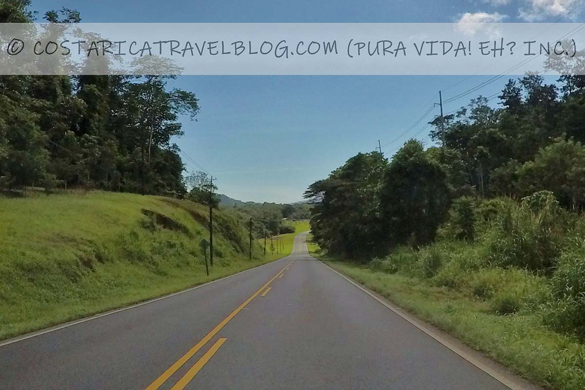
- Terrain: primarily flat and straight
- Pace: fast
- Traffic: standard
- Flow: two-way highway
- Tolls: none
- River crossings: none
- 4×4 vehicle required: no
Highway 1
Highway 1 is Costa Rica’s most popular highway. It connects the west end of the centrally located capital city (San Jose) with the northwest corner of the country. It’s also considered an extension of Highway 2.
If you plan to drive to La Fortuna from Liberia, the LIR Airport, or other destinations along the northern Pacific coast or the Nicoya Peninsula, you’ll likely travel on Highway 1 as far as Canas, where the highway meets Road 142. Alternatively, if you plan to drive to La Fortuna from San Jose, Alajuela, the SJO Airport, or destinations along the central or southern Pacific coast, you’ll drive on Highway 1 as far as Naranjo or San Ramon, depending on which route to La Fortuna you intend to take (see the beginning of this article for the four most popular routes). The flat, smooth, fast-paced Highway 1 makes part of the drive to La Fortuna a relatively easy and enjoyable one.
- Alternative highway names: Carretera Interamericana; Inter-American Highway; Pan-American Highway; Autopista General Canas (east of Alajuela); Autopista Bernardo Soto (west of Alajuela); Carretera Esparza-Puntarenas (west of Esparza to Highway 17)
- Popular destinations encountered along the route: San Jose and Liberia
- Off-the-beaten-path destinations encountered along the route: Canas, Bagaces, and the border community of Penas Blancas
- Destinations reached by cutoffs along the route: Monteverde, Puntarenas, beach towns on the Nicoya Peninsula, Bijagua, beach towns in along the northern Pacific coast, the Rincon de la Vieja National Park, the Santa Rosa National Park, and Bahia Salinas
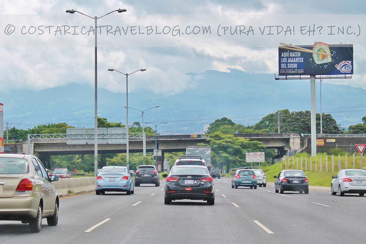
- Highway conditions and design: paved, multi-lane (2-3 lane) highway in some areas and paved, single-lane highway in others
- Terrain: primarily flat and straight
- Pace: fast
- Traffic: heavy at times; highway is commonly shared with transport trucks
- Flow: two-way highway
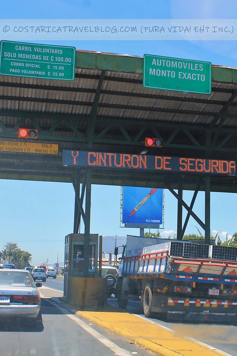
- Tolls: yes; the highway has two tollbooths, one between Alajuela and San Jose and one between Alajuela and San Ramon
- River crossings: none
- 4×4 vehicle required: no
Driving to La Fortuna / Arenal: Duration and Distance Chart
Planning to drive to La Fortuna from one of Costa Rica’s most popular destinations? Our chart below outlines the route, distance, and approximate duration for each trip to La Fortuna.
| Driving to La Fortuna / Arenal from… | via… | is roughly… | and takes approximately… |
|---|---|---|---|
| San Jose | Road 702 and Highway 1 (the route through San Ramon and Chachagua) | 130 kilometers | 3 hours |
| San Jose | Road 141 and Highway 1 (the route through Naranjo, Zarcero, and Ciudad Quesada) | 140 kilometers | 3.5 hours |
| Cahuita | Road 142, Highway 4, Highway 32, and Highway 36 | 255 kilometers | 4.5 hours |
| Liberia | Road 142 and Highway 1 | 135 kilometers | 2.5 hours |
| Limon | Road 142, Highway 4, and Highway 32 | 215 kilometers | 3.5 hours |
| Manuel Antonio / Quepos | Road 702, Highway 1, Highway 23, Highway 27, Highway 34, and Road 235 | 245 kilometers | 5 hours |
| Monteverde / Santa Elena | Road 142, Road 145, and Road 606 *This route avoids a boat ride across Lake Arenal |
115 kilometers | 3.5 hours |
| Monteverde / Santa Elena | Via combined ground-boat-ground transfer *This route requires a boat ride across Lake Arenal |
N/A | 3 hours |
| Puerto Viejo de Sarapiqui / Sarapiqui | Road 142 and Highway 4 | 75 kilometers | 75 minutes |
| Puerto Viejo de Talamanca / Puerto Viejo | Road 142, Highway 4, Highway 32, Highway 36, and Road 256 | 270 kilometers | 5 hours |
| San Ramon | Road 702 | 70 kilometers | 1 hour and 45 minutes |
| Siquirres (Pacuare River rafting tours) | Road 142, Highway 4, and Highway 32 | 155 kilometers | 2.5 hours |
QUESTION TO COMMENT ON: Have you driven to La Fortuna? Which route did you take and how did you find the drive?
Pura vida!
Summary
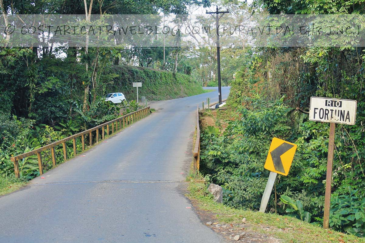
Article Name
Driving to La Fortuna/Arenal: Photos, Road Conditions, Routes, Drive Times, And More!
Description
Everything you need to know about driving to La Fortuna / Arenal: possible routes, road descriptions, a distance/duration chart, and more!
Author
Nikki Solano
Publisher Name
The Official Costa Rica Travel Blog
Publisher Logo
